I'm not sure how exactly I stumbled upon the Ruby Mountains, probably one cold wintery day while dreaming of summer adventures. All I know is that the more I learned about them the more I knew it would be a required trip this summer. With just small snippets floating around on the internet I saw the Ruby Mountains repeatedly compared to Yosemite, only far less traveled. Glacial lakes, towering mountains and only a few visitors, umm excuse me how I could I not just want to hop in my car right now? Then I read about the Ruby Crest National Recreation Trail and I knew that was my in, established trail in a place I wanted to visit, done. So when my July schedule finally came out and I saw that I had a nice long stretch of days off I knew my trip could definitely happen.
Logistics turned out a bit fuzzy. There isn't a whole lot of info out there on this trail, it's part of the Humboldt-Toiyabe National Forest and primarily in the Ruby Mountain Wilderness in NE Nevada. The Forest service has exactly one sentence on its website saying the trail is 33 miles long and zero other info. Okay then, Google it would have to be.
A few folks have set up trip reports/info pages on the area and that is what I used. Lots of conflicting info and a not so great forest service map (as the lovely ranger put it, "Oh yeah, you mean the map big enough to be a groundcloth?" Guys maybe consider breaking it up into smaller chunks so its a bit more readable, the hikers would love you). Either way the trail looked to be anywhere from 33-45 miles long (rather different don't you think?). Its not a loop and every single thing I read recommended a shuttle, well sorry folks I don't do shuttles when hiking alone, far to much hassle. I figured the Rubies are in NE Nevada, right outside of Elko and about 4.5-5 hours from Reno. 2 half days for driving and 60-90 miles of hiking if I made the trip an out and back. Most folks seem to take 3-4 days to go one direction, I decided to roughly plan for 6 days of hiking starting in the North at Lamoille Canyon, and I would figure out the details of each day as I went along.
I somehow magically got the night off work so instead of sleep deprived me it was a much more perky and over excited me that hit highway 80 by 10 am Thursday morning. I had wanted to leave super early but hey, who are we kidding I hadn't even finished grocery shopping by Wednesday night. It was nice to finally put some actual images with all those place names I have been hearing since I moved to Reno as I sped through 300 plus miles of Northern Nevada.

Gas and bathroom breaks aside it was a super straightforward drive to Elko. A quick stop at the forest service office where I asked about a more detailed map (rumors on the internet spoke of a smaller wilderness only map). The ranger very nicely smiled and said nope but Backpacker magazine just did a feature on the trail so why didn't I try that. Oh well and no thanks, towards the park I went. Meanwhile the clouds had settled in and I felt like I was entering the foggy lands of the Pacific Northwest. I was so close to my start, the north end of the trail at the Roads End parking lot (the terminus of the Lamoille Canyon Scenic Byway). Drop dead gorgeous by the way.
3 pm had me eyeing the mostly empty parking lot (8 whole cars) and debating rain gear. I felt like I was in a cloud and at the last minute threw my rain jacket in my bag and after fussing with the dogs backpack and stalling for a few more minutes I finally locked the car and hit the trail.
 |
| No official mention of the Ruby Crest but those lakes were on my trail map so I figured I was on the right track. |
Harrison pass is 43 miles away? Forest service you said the trail was 33 miles. Ah the conflicting info, good thing I don't rely on your day estimates.
Started off climbing (maybe a 1000 ft) up the canyon I went. Turning around about every 5 seconds to gape at the view and take photos. Enjoying the mist and solitude. I saw 2 whole hikers that first section.
 |
| Getting closer to the pass and looking down at Lamoille Lake |
.
 |
| Looking back at the canyon |
 |
| heading down liberty pass and looking at Liberty Lake. |
 |
| Continuing down towards Favre Lake |
 |
| Heading back up, more pretty meadows |
I got to N.Furlong creek and knew that there was a 10-11 mile stretch after this with no water. There was a nice campsite but I still had a few hours of daylight and I had read that there were some possible campsites on the ridge near Wines peak. Which was only one climb and a mile or so away. I was loving the hike and just wanted to keep going, so I filled up on water to dry camp and headed up.
 |
| up a deceptively flat meadow, with no clue what views were in store |
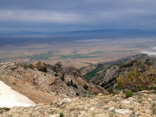 |
| and that's what was on the other side |
 |
| looking back down at the meadow |
We made it to the top, looking out over a new stretch of mountains and more clouds. The sun was setting and with the clouds in mind I was searching for a spot to pitch my tent, not much luck yet so onwards it was
 |
| obligatory photo of a far to excited me |
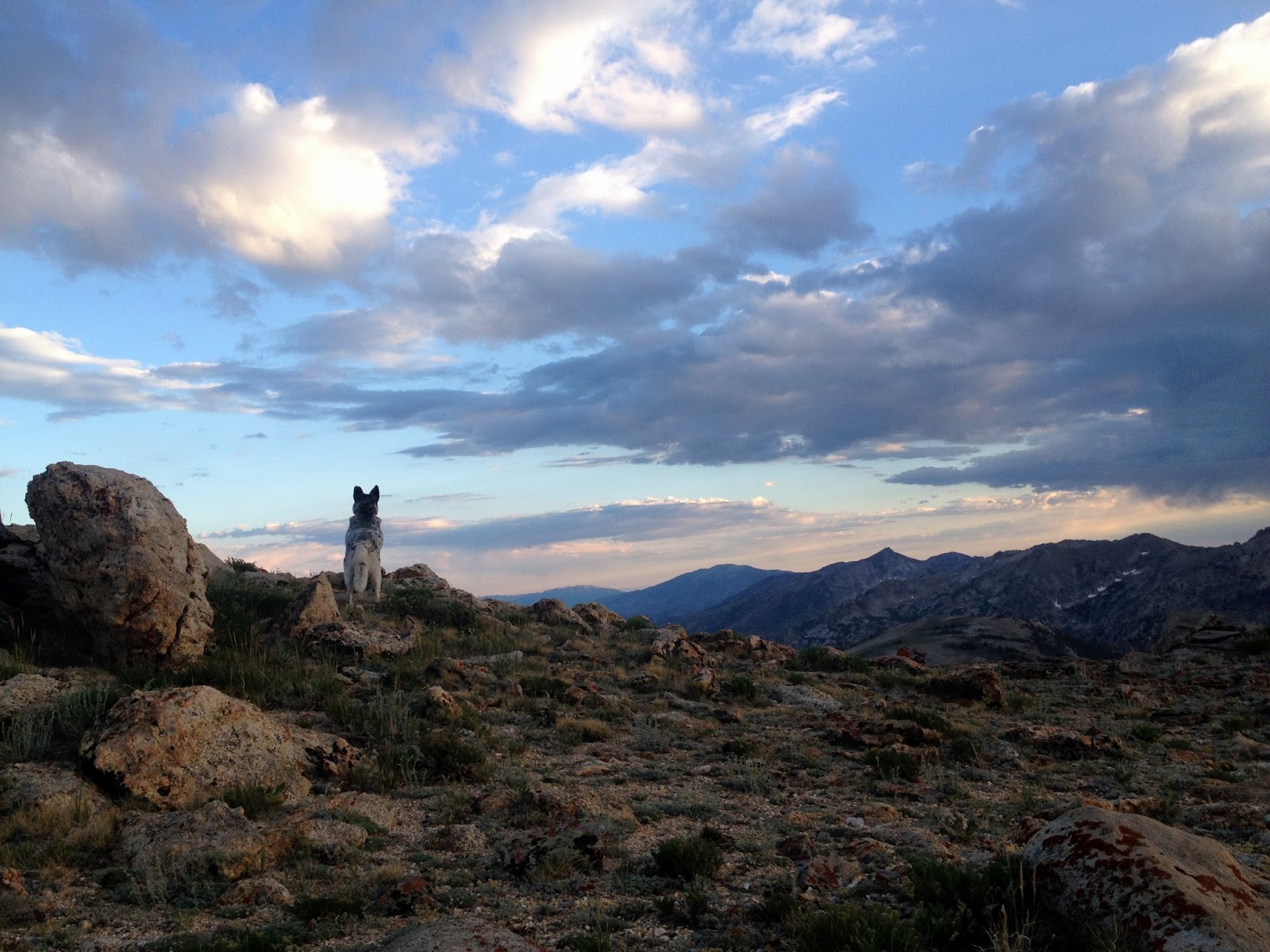
We made it down to the saddle below the peak and I decided slanted and rocky be darned I would make it work. Sitka posted watch while I scrambled to beat the dark.
Have I mentioned recently how much I love this place? If you can't tell from my snap happy self its pretty great. I think my first day came in at around 8-9 miles. 9 or so left until the next water and Overland lake. No real plans except to see how I feel in the morning...