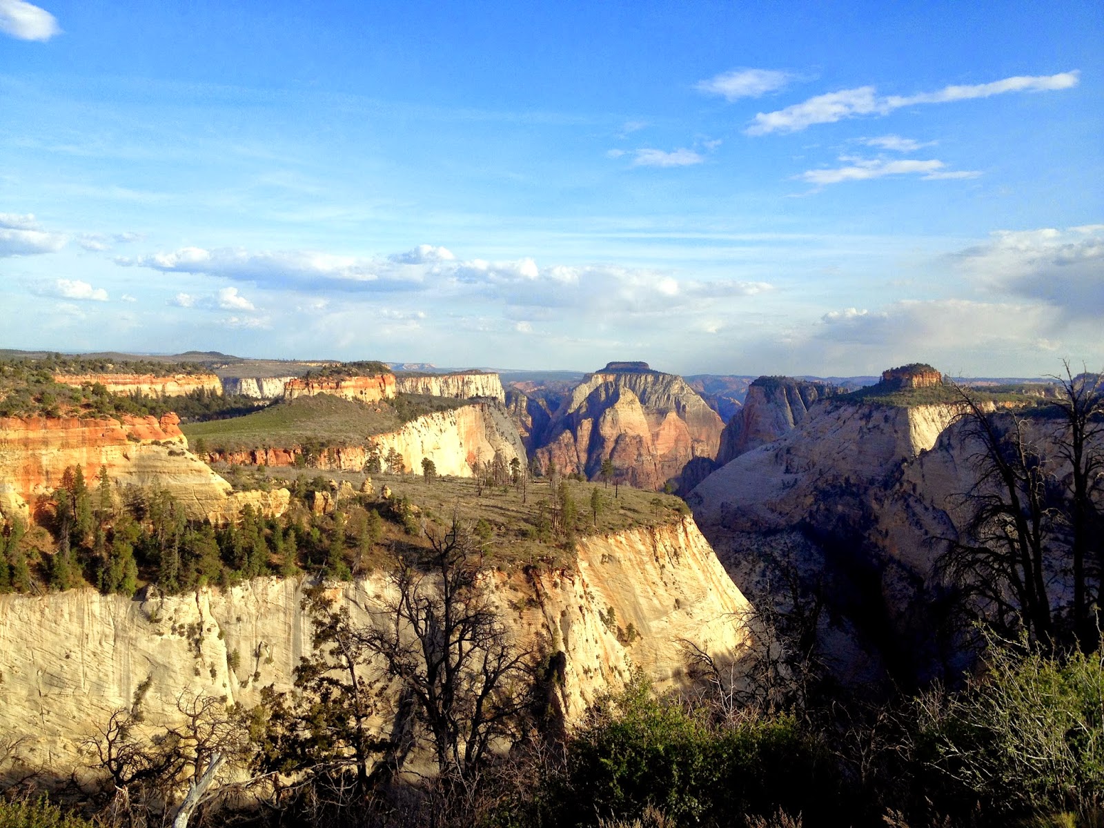
I loved this day (so suck it up and suffer through the 30 plus photos because it was just that fantastic). I woke up a little before sunrise, packed up, and was on the trail in the chill of the morning. It was a long 5 miles of picking my way along the floor of hop valley. Minimal trail to speak of, mostly just following the creek and trudging along sand.
The last climb out of the valley was short but steep. Then it was still more sand (okay the sand ends here so no more griping on that front I promise) as I made my way to the Hop Valley trailhead. I left behind the cattle grazing private property area and enjoyed the gallon of water I had cached at the trailhead the day before. As I took advantage of the trash can and bathroom I laughed as the Zion Adventure Company pulled up with a new set of hikers caching water for their trek. Soon enough I crossed Kolob Canyon Rd and headed out onto the connector trail.
Online reports had mentioned this section could be overgrown and tricky to follow but I had no issues. The views just got better as I started to climb, crossing slick rock dotted with cairns I just kept grinning at how great the day was turning out.


Ten am saw me nine miles into my morning and at the Wildcat Canyon Trail. I vetoed a side trip to Northgate peaks because of how long my day was looking, besides now I have one more reason to come back. The trail opened up on an exposed edge of the rim and rounding a corner I found the amazing Wildcat Spring. I had no idea it was directly on the trail, plus I saw my first other hikers of the day. Strangely enough another group of hikers from Reno, the first other West Coasters I'd met so far on my whole trip. There was the usual trail talk and skepticism about a woman hiking alone but they were friendly and after they learned I had already hiked 10 miles to their 2 that morning they stopped with the quizzing. Gotta love early morning pissing contests.


I headed around the rim of the canyon and started the gradual climb below Lava Point. Then I was at the West Rim Trail intersection and heading out onto the long ridge line. I passed 2 folks heading the opposite direction looking miserable, it was so amazing out how could they be so unhappy? This park is spectacular. Unexpected clouds and a breeze were making my morning fly by. Just when I was thinking it was about lunch time I hit what a guide book described as the "SGA teaser viewpoint" a view straight down the Left Fork of North Creek to the South Guardian Angel mountain in the distance. Perfect lunch spot.
 |
| the teaser view |
Then it was back to the ridge line and down into Potato Hollow. Hot, dry and open this section clearly suffered a nasty burn. I'd avoid campsites 7 and 8 out this way personally. A climb out of the hollow brings the trail to the true west rim and probably my slowest 2 miles in recent memory. Between photos and just staring at the views I was happy as a clam.
 |
| entering Potato Hollow |
 |
| caterpillar season in Zion |
I think my favorite views were around campsite 5, although 4 had a great sunset viewing spot as well. Around the canyon rim I continued, disappointed my campsite wasn't along the amazing ridgeline. But the views didn't end, the East side came into view and as the trail started to drop Zion Canyon opened up.
 |
| Rounding the corner to the East Rim |
Soon enough I found campsite one and cabin spring. Murky, red and crowded I didn't hang out by the water long. After dinner I decided sunset was worth the trek back up to the west rim and headed back a mile or so back up the trail. I sat enjoying my view, getting restless I wandered the rim as the sun set finally catching up with the Reno folks I had seen earlier that day and then heading back to my campsite to enjoy my last night on this leg of my trip. Fantastic.


