Miles: 20.4
Total trip miles: 1128.3
Ah the best laid plans, of course my alarm didn't wake me up. But I'm only about a half hour later than I meant to be so its not to bad. I pack up, everything is damp and my tent is dripping wet, joy.
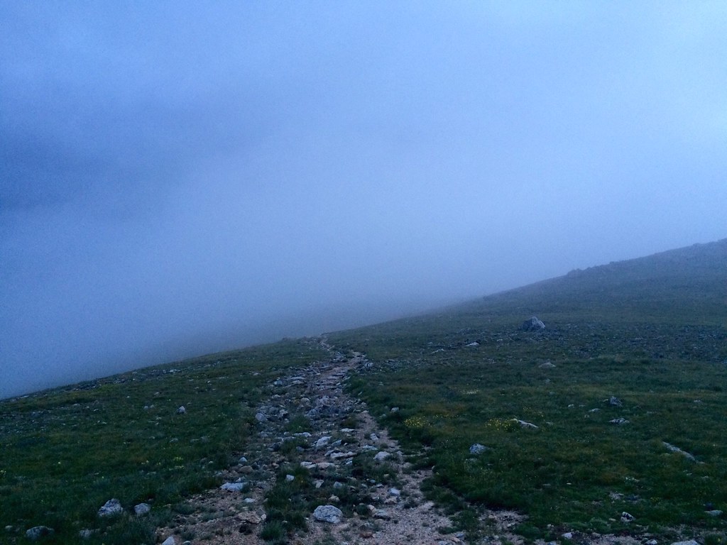
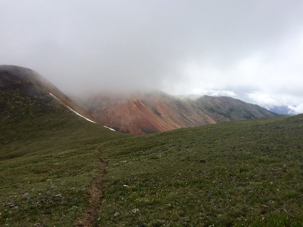
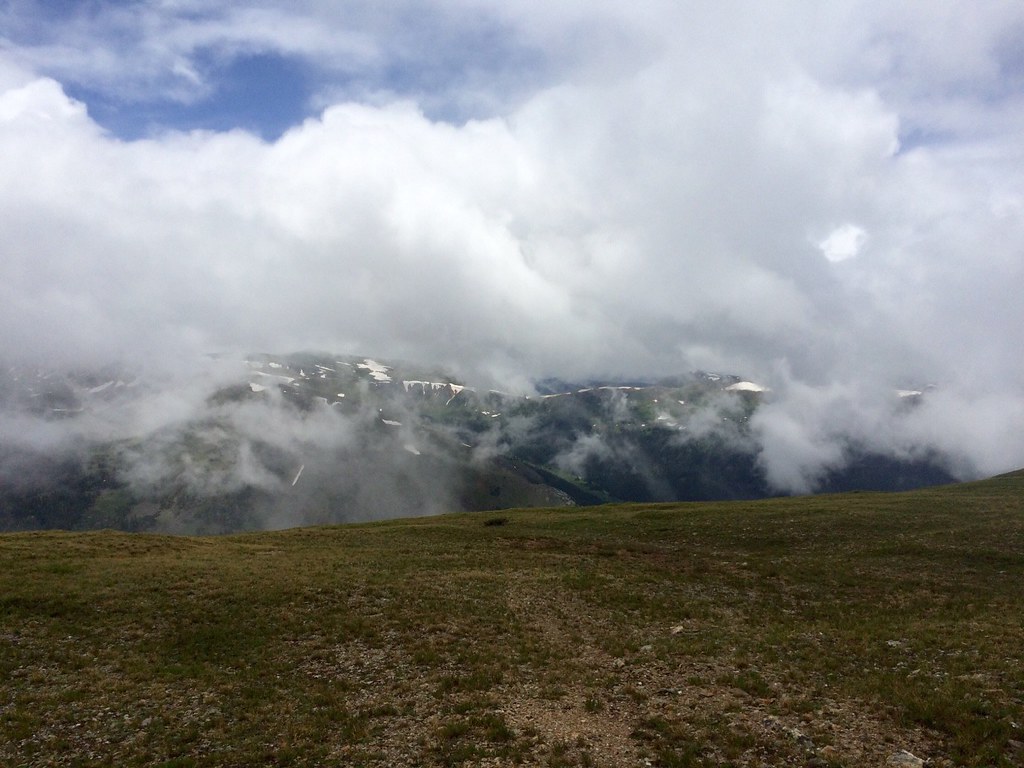
Low lying clouds are everywhere but at least I can see the sky. I get to the Georgia Pass access road and the Colorado Trail is of course marked. But this is actually where I say goodbye to the CT. We've shared quite a few miles now and it's been fun. Well maintained trail, signs everywhere and happy CT hikers. I have a feeling it's back to regularly getting lost and rough terrain.
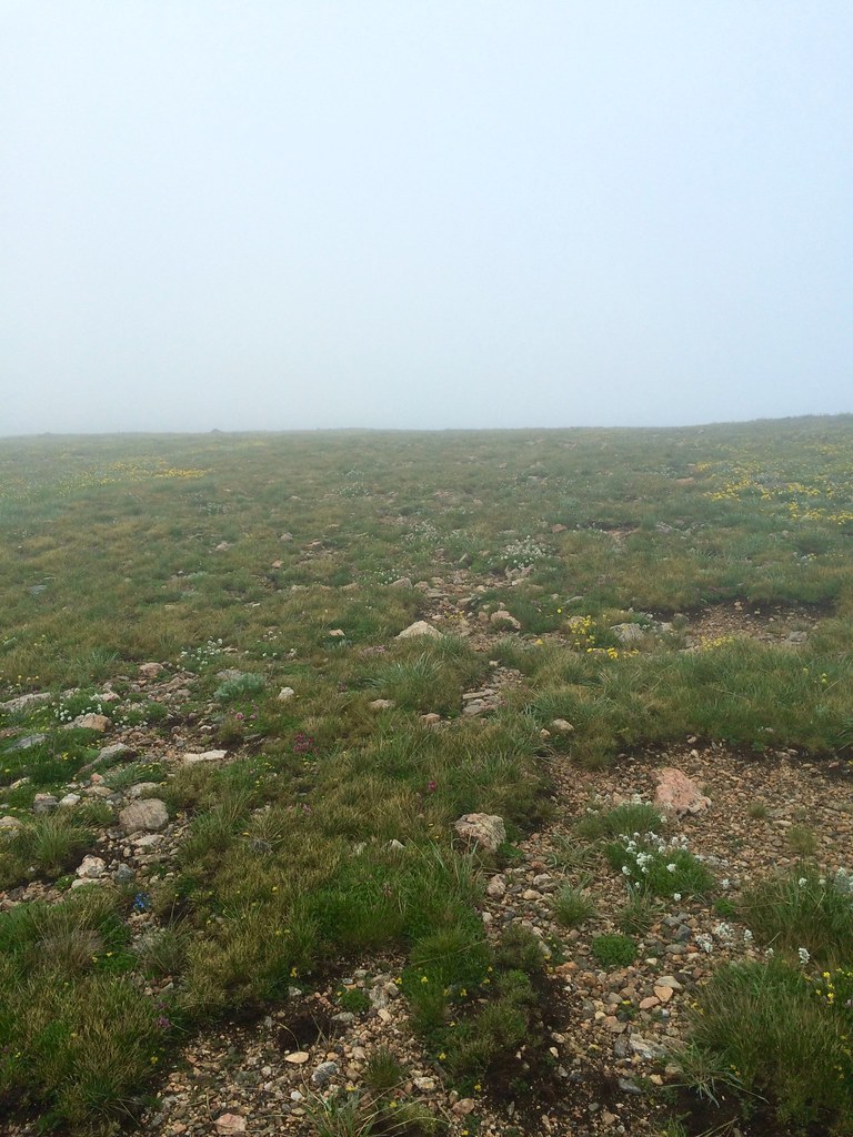
These glimpses of sky were rare...
There was lots of Hobbit, Mordor, and Mt Doom talk back in Brekenridge and walking through the mist it's hard not to think of epic quests and fairy tales. At least I try to keep a positive spin on it. The climb is steep and I'm dragging, and while I know the sun has risen I miss sunrise because I'm walking in a cloud. I can see maybe 10 feet in front of me and of course the trail ends. Yup, back to the land of cross country.
Look, I can see something!
And now I can see nothing again
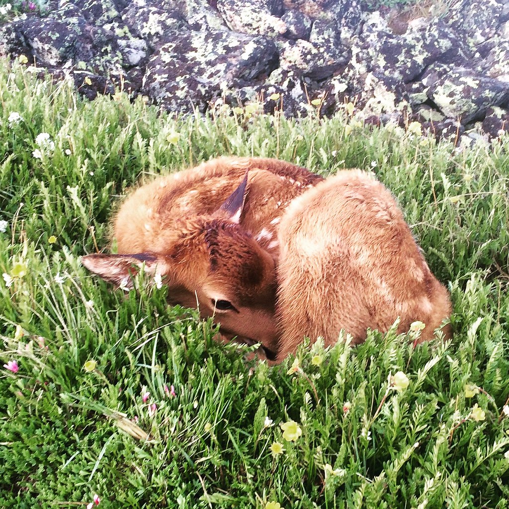
I'm doing alright but find I've overshot a ridge, right as I'm trying to fix myself I almost step on a fawn. The poor thing looks as cold as I feel, I hope it's ok.
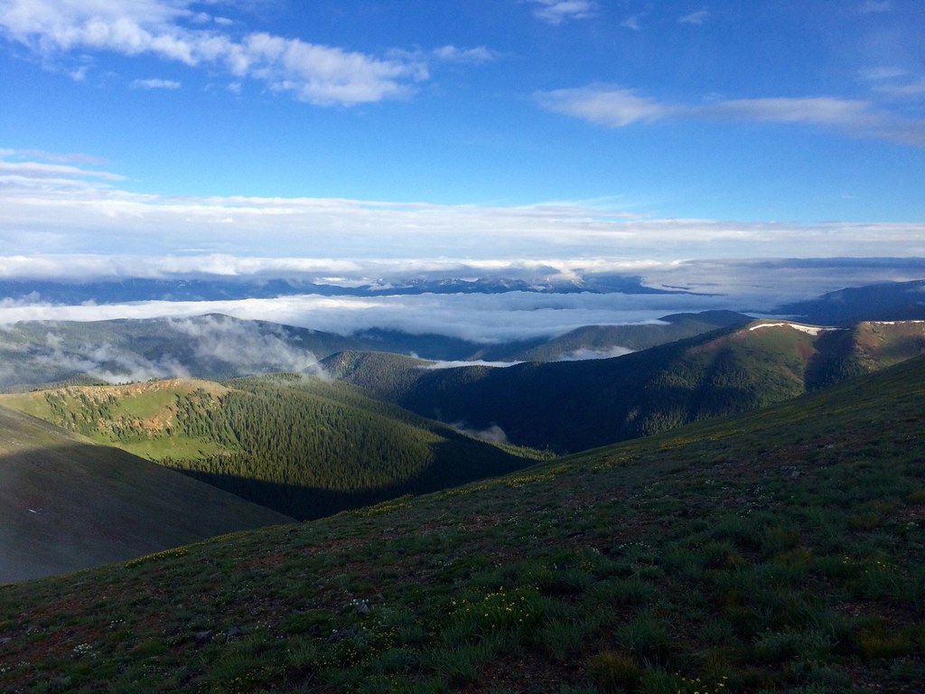
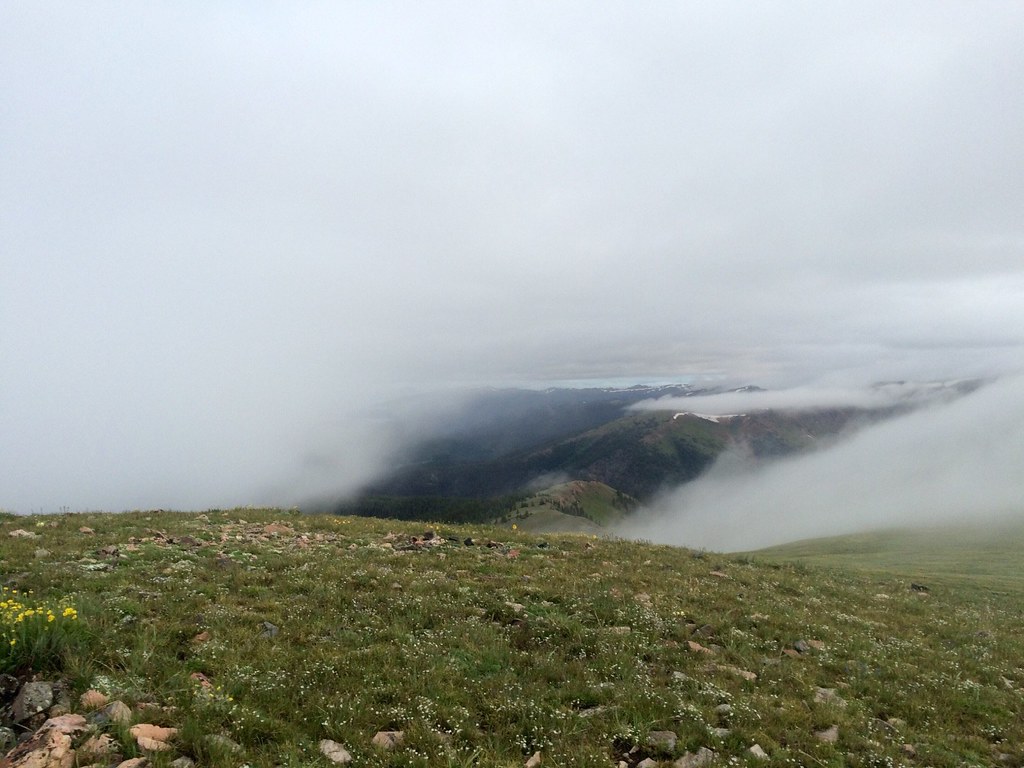
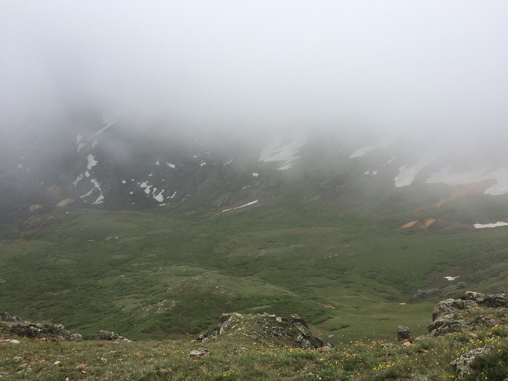
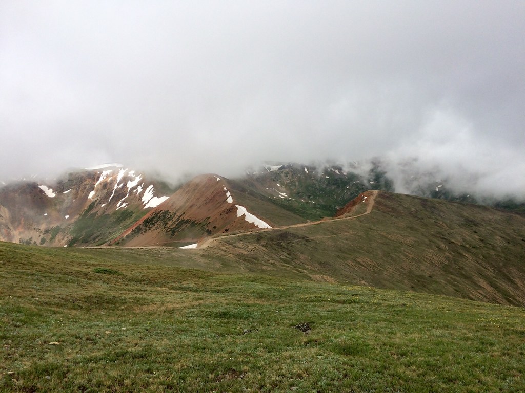
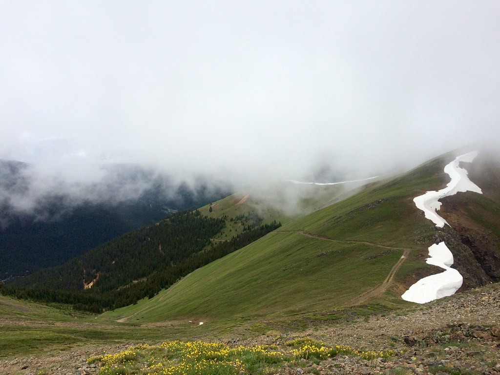
The sun breaks through for a minute and I see where I'm supposed to be going, within a minute the mist is back but at least I'm on track again. I get a few teaser views but really I'm just walking in white, at least it really makes you enjoy the wildflowers.
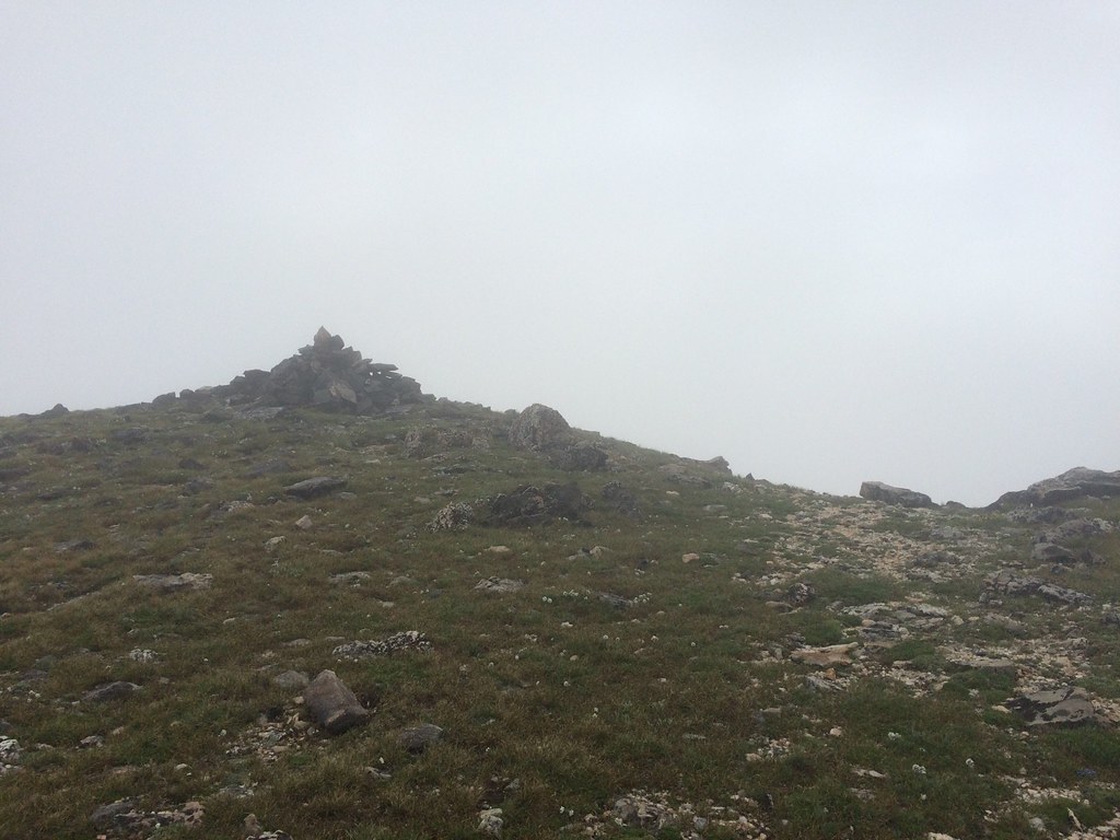
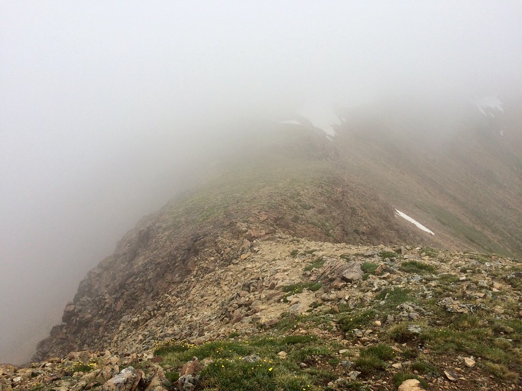
I get excited when I see a cairn at a summit, I start to head down like I think I'm supposed to but it feels wrong. I really hate not being able to see where I'm going. I recheck my GPS and I am off track, and back up I go. I keep getting turned around in the white, I have no idea what is actually around me. A few times I find myself looking over edges blearily making out cliffs, I think this is probably a gorgeous area but I'm having a rough morning.
And on a cliff edge again
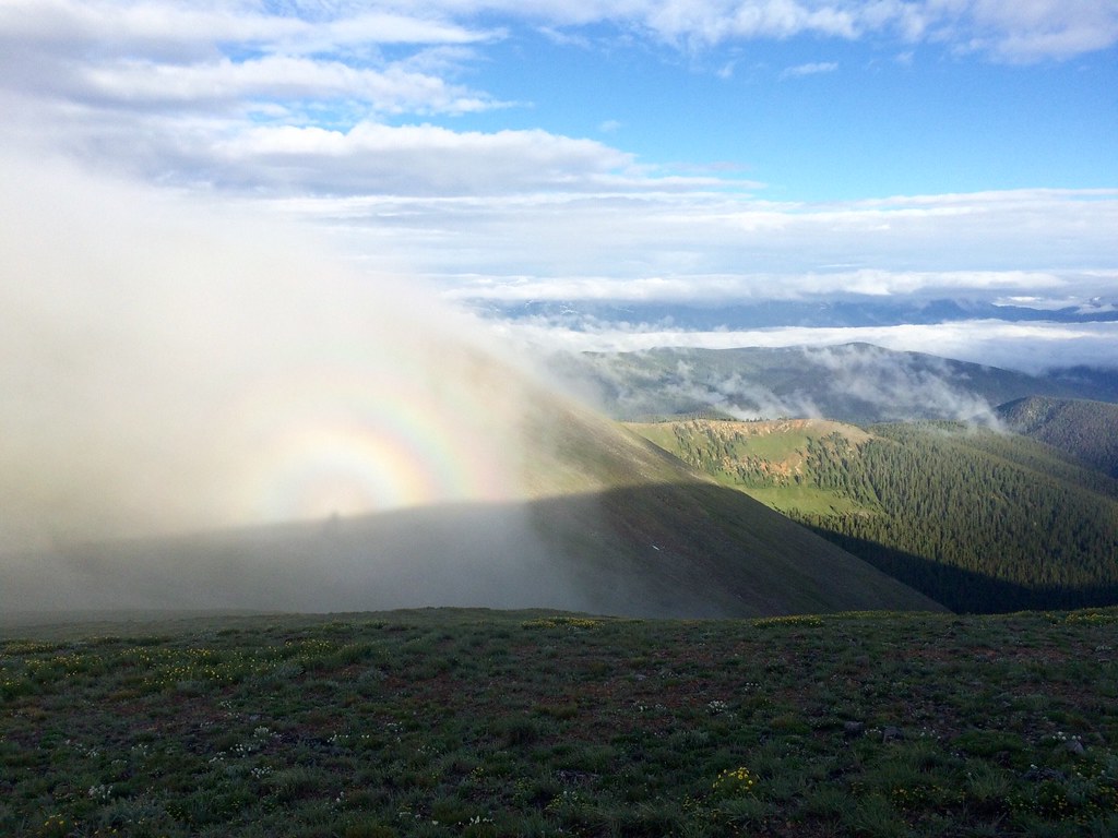
I get occasional glimpses and it really is pretty. But it's cold and windy and at first I think it's just misty but it's actually raining. 8:30 and it's already raining, not a good sign.
The morning continues pretty much the same. I head off in what I assume is the right direction, end up misplaced in the whiteout and stumble my way back to the trail, road or at least the general direction. The trail comes and goes as does the rain and hail but the wind is pretty consistent, and so cold up above treeline.
I'm moving incredibly slow, the lack of trail and any sense of direction starts to get to me. It doesn't help that it's getting later and the rain is getting heavier. I'll get a few small breaks in between the rain or the clouds but the breaks just don't last.
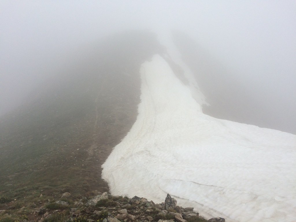
I'm onto the second set of climbs, getting closer but I'm pretty miserable. I get to what my GPS tells me is a summit and I have a bit of a temper tantrum. Up and down I search in vain for cairns. I find them almost only when I almost trip on them. I angrily walk around a giant snow patch wondering what the heck I am doing? It's pouring, I'm clearly on a cliff edge and still am in this horrible white bubble.
There's a very steep descent complete with the cairns I could have used a few miles ago. I surprise a mountain goat which at least makes me smile. Until I start back up after the saddle following cairns, only after the third one something's wrong. This is my biggest screw up of the day, I've ended up on the wrong side of a mountain. I very slowly and carefully pick my way all the way around over rock fields until maybe an hour later I'm actually back on track. I'm tense and stressed and begging the sky to please just give me a break. It's gotten so windy I had to put my umbrella away and the rain is relentless.
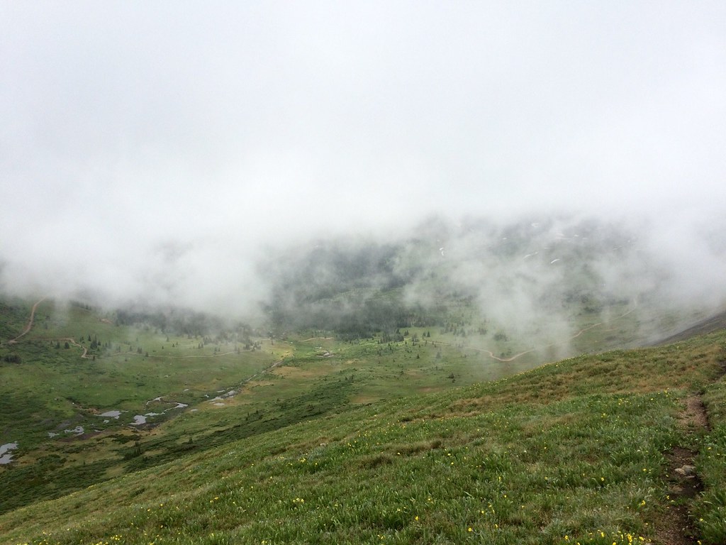
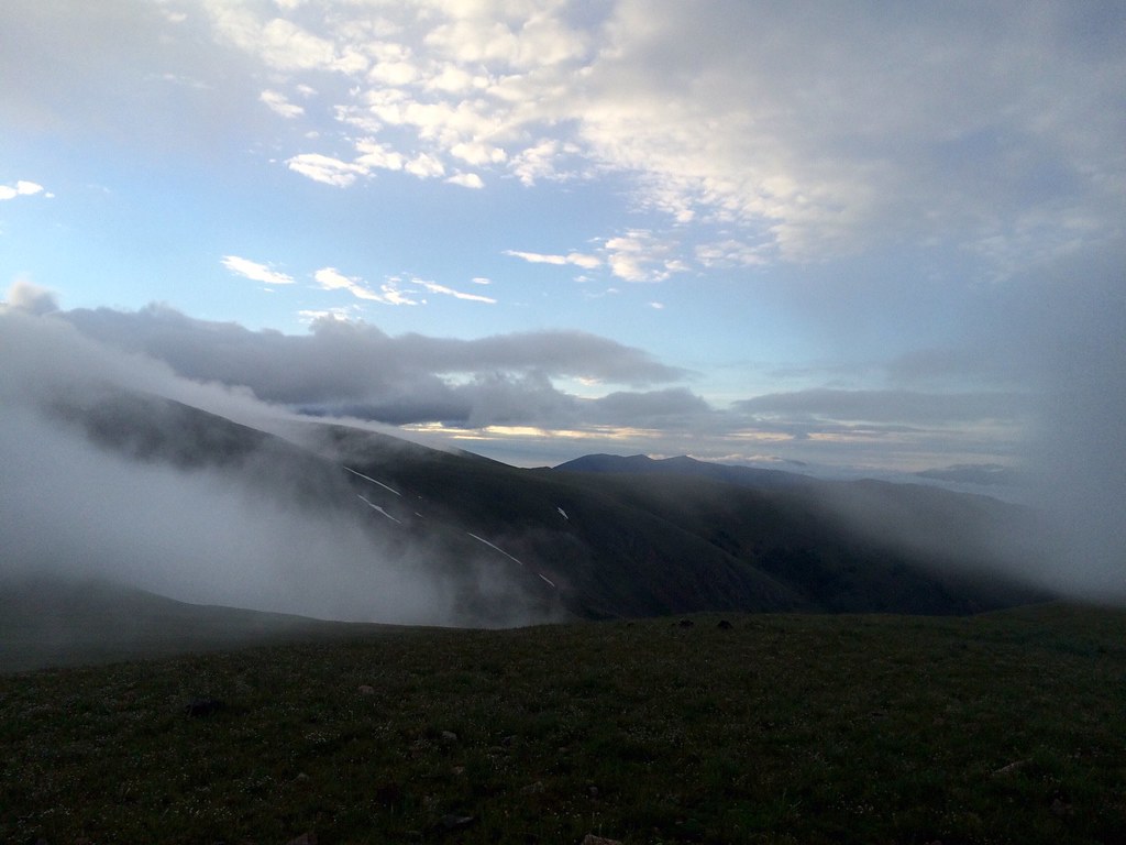
I'm finally heading down, the 15 miles above treeline have come close to breaking me. I realize I haven't been stressed like this since the San Juans and I don't like it. As I descend I finally get a short break from the rain. I grin when the clouds part and I see mountains again, unfortunately it's short lived. I turn off the road and make my way around a cornice onto the trail. Only I can't find the trail, Appa mentioned this section and said he down climbed the cliff. It seems the most obvious answer so I start down, and it of course starts raining again. It's slow but I finally make it and happily head down the rocky road. Steep but at least I can see farther than 20 ft in front of me. The rain comes and goes and I finally get to the bottom. No bridges so my wet feet get a fresh dunking and I'm on the home stretch.
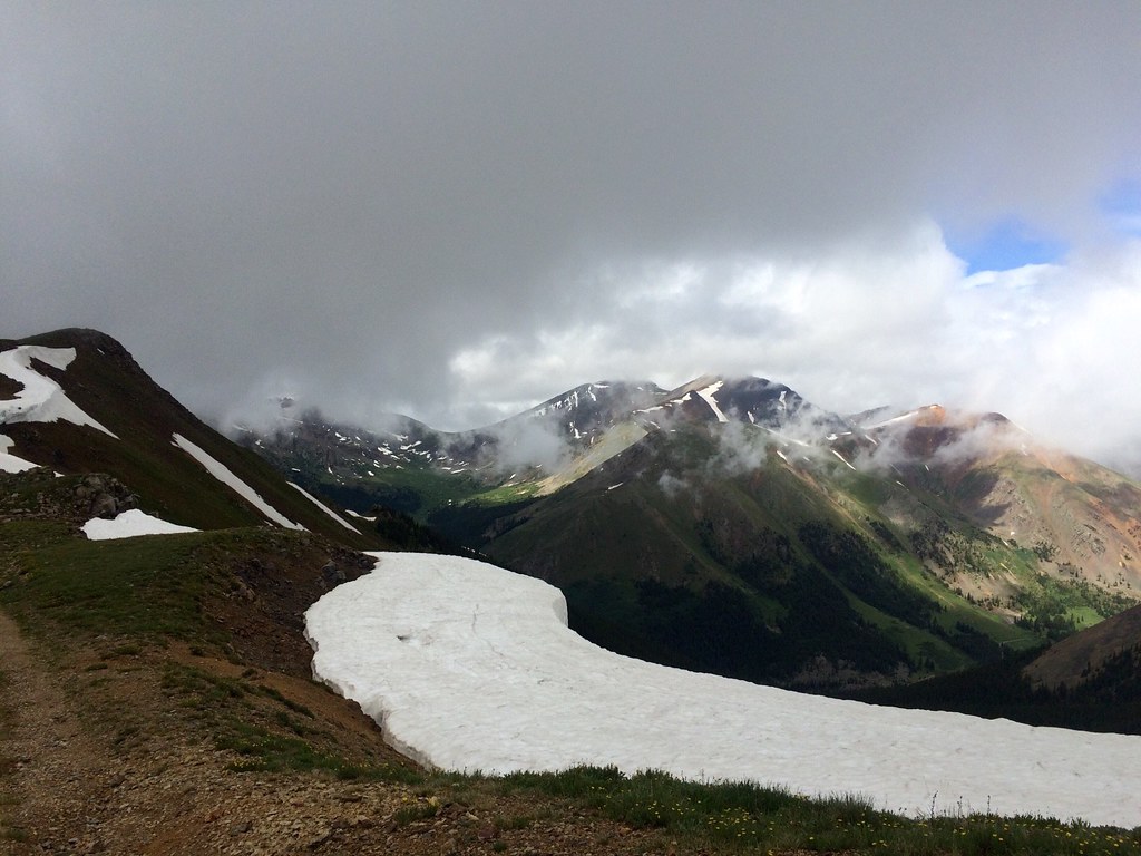
I could see this sucker from the top, so I'm on track?

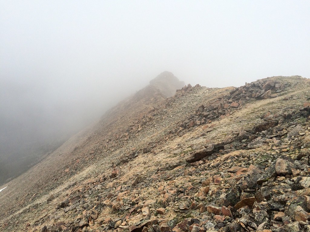
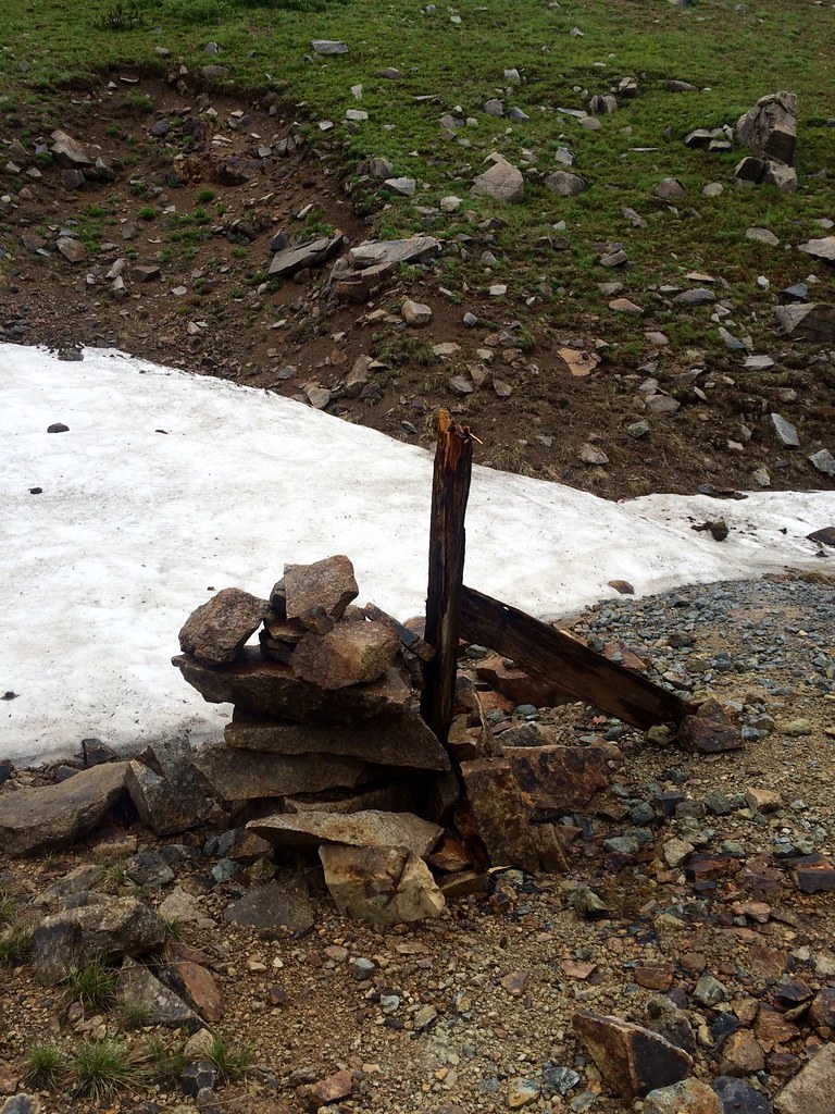
Down a cliff that ends in a cairn, what a long day
Tomorrow is Gray's Peak. It's the highest point on the trail and over 14000 ft. Looking at my map if I want to camp below treeline I don't have a ton of choices so it will be a 20 mile day for me regardless. I'm worried about tomorrow because of how hard today was for me mentally but I'm hoping the weather lets up a bit.
I'm maybe 2 miles from my planned campsite and guess who pops out of the trees? Moist and Nightcrawler, they road walked most of the way here after bailing from the high route this morning. I also meet Sam who did the same, I kind of wish I'd copied them. We're all camped together and hoping tomorrow isn't quite as miserable as today. At least while Colorado tries to be the Pacific Northwest it's taken a break from all the terrifying thunderstorms.
- Posted using BlogPress from my iPhone
No comments:
Post a Comment